Inlet Water Monitor
A watershed monitoring portal template with map-led discovery, station readings, alerts, trends, and accessible public data
A watershed monitoring portal template with map-led discovery, station readings, alerts, trends, and accessible public data
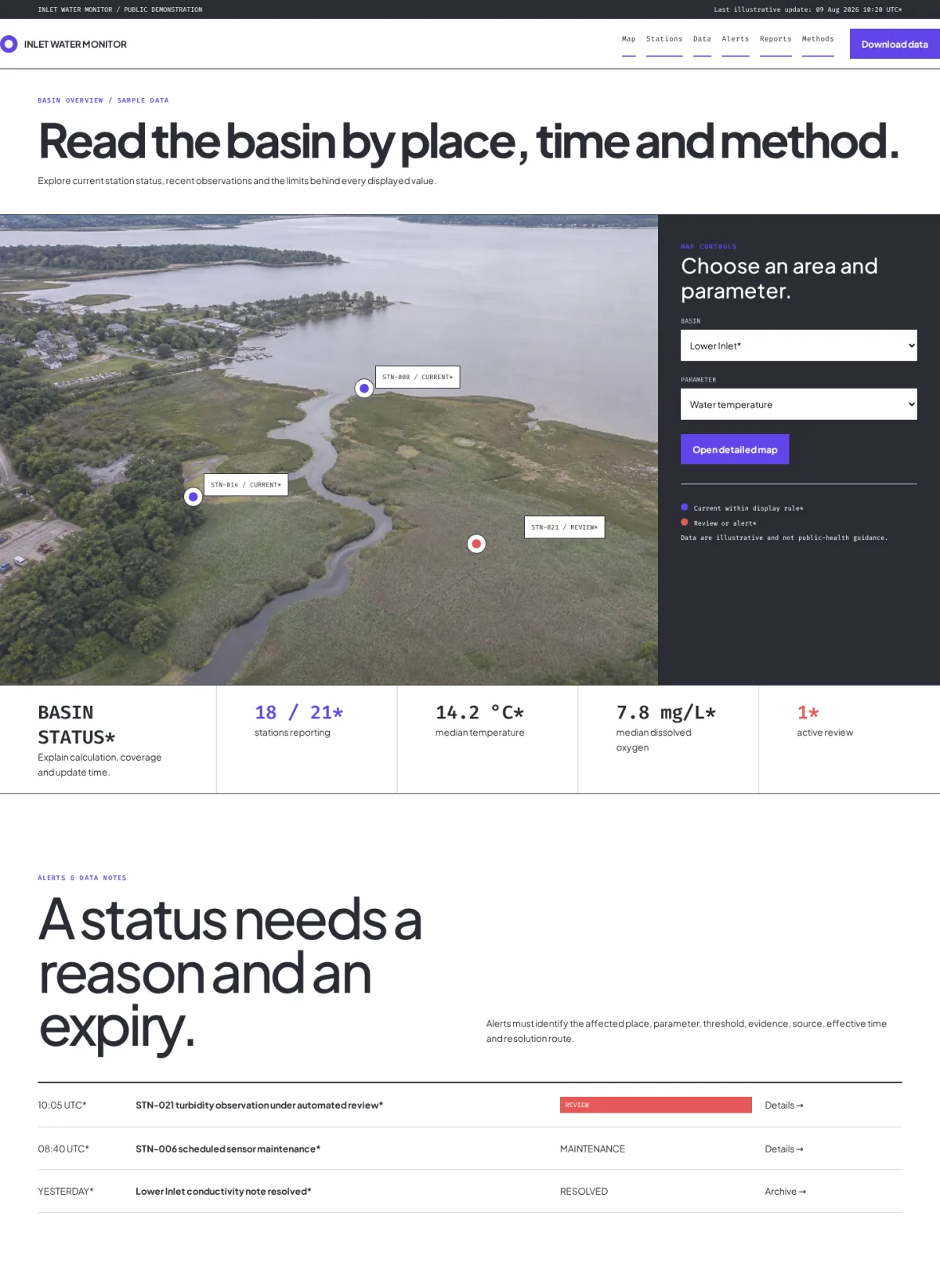
Inlet Water Monitor leads with a bounded watershed map and location controls, then presents current basin status, alerts, a detailed station table, and labeled trend charts. It behaves like a working public utility rather than an environmental poster, using aligned Bootstrap-compatible data regions and redundant status labels.
Choose this template for a water utility, watershed authority, environmental monitoring network, research observatory, public data program, or community science portal.
Replace the Inlet identity with a transparent logo and compact map mark. Preserve shared container edges, table alignment, chart spacing, consistent gutters, and status colors with text equivalents. The map is a task interface, not decoration: use verified boundaries, accessible controls, useful keyboard behavior, clear legends, and a non-map route to the same station data. Each station record should include a stable identifier, name, coordinates or locality, operator, sensor type, measured parameters, units, timestamp and timezone, quality status, maintenance state, method, and download link. Clearly distinguish provisional, corrected, estimated, missing, historical, advisory, and regulatory data.
Alerts must identify the issuing authority, affected place, severity, start and expiry, update time, recommended action, and source. Never infer public-health safety from incomplete readings or present informational monitoring as regulatory certification. Charts need labeled axes, units, time ranges, accessible summaries, and downloadable underlying data. Explain sampling frequency, laboratory methods, calibration, detection limits, quality assurance, corrections, and known limitations. Document API fields, versions, rate limits, licenses, attribution, uptime expectations, and deprecation. Claims about water quality, population served, normal ranges, compliance, accuracy, coverage, or real-time status must be supported and scoped.
Never invent live readings, advisories, agencies, stations, scientific findings, or official endorsements.
Replace generated maps and field photographs with authoritative geographic data and licensed images before launch. Do not expose sensitive infrastructure, private property, staff information, or precise locations when safety or conservation requires restriction. Keep readings, times, status labels, alerts, controls, and methodology in HTML or accessible data visualizations.
For SEO, create substantive watershed, station, parameter, methodology, report, and educational pages with unique titles, descriptions, canonical URLs, headings, update dates, and internal links. Prevent transient filters and timestamp queries from producing unlimited duplicate pages. Use Dataset structured data only when visible metadata, license, coverage, variables, and download access match.
If multilingual, localize units, dates, alert wording, scientific terminology, emergency instructions, and contacts through qualified review.
On mobile, convert wide station tables into labeled records, keep map alternatives available, preserve chart legibility, and avoid horizontal overflow. Support keyboard navigation, visible focus, large targets, screen-reader labels, reduced motion, non-color states, and live announcements only for meaningful changes.
Forms should collect minimal information and explain recipients and response times. Optional analytics, maps from third parties, video, and social embeds should respect consent and data-sharing requirements.
Before launch, replace all fictional readings, stations, maps, contacts, dates, alerts, methods, and claims; test map and non-map discovery, tables, charts, downloads, API links, filters, alerts, forms, keyboard use, screen readers, responsive layouts, performance, privacy, and failure states. Add reviewed privacy, terms, accessibility, data license, methodology, corrections, API, alert, and contact pages. Assign scientific, operational, and content owners with review schedules and an audit trail for corrections. Establish a documented publishing workflow so field teams, laboratory reviewers, data stewards, communications staff, and emergency contacts know who can issue, revise, withdraw, or archive each update.
Test stale-data warnings, offline stations, delayed laboratory results, revoked downloads, unavailable map services, partial API responses, and high-traffic alert periods before the portal is treated as operational.