TERN CITY RIDES
A route-led micro-mobility brand template with service map, live availability, pass comparison, riding guidance, and impact methodology
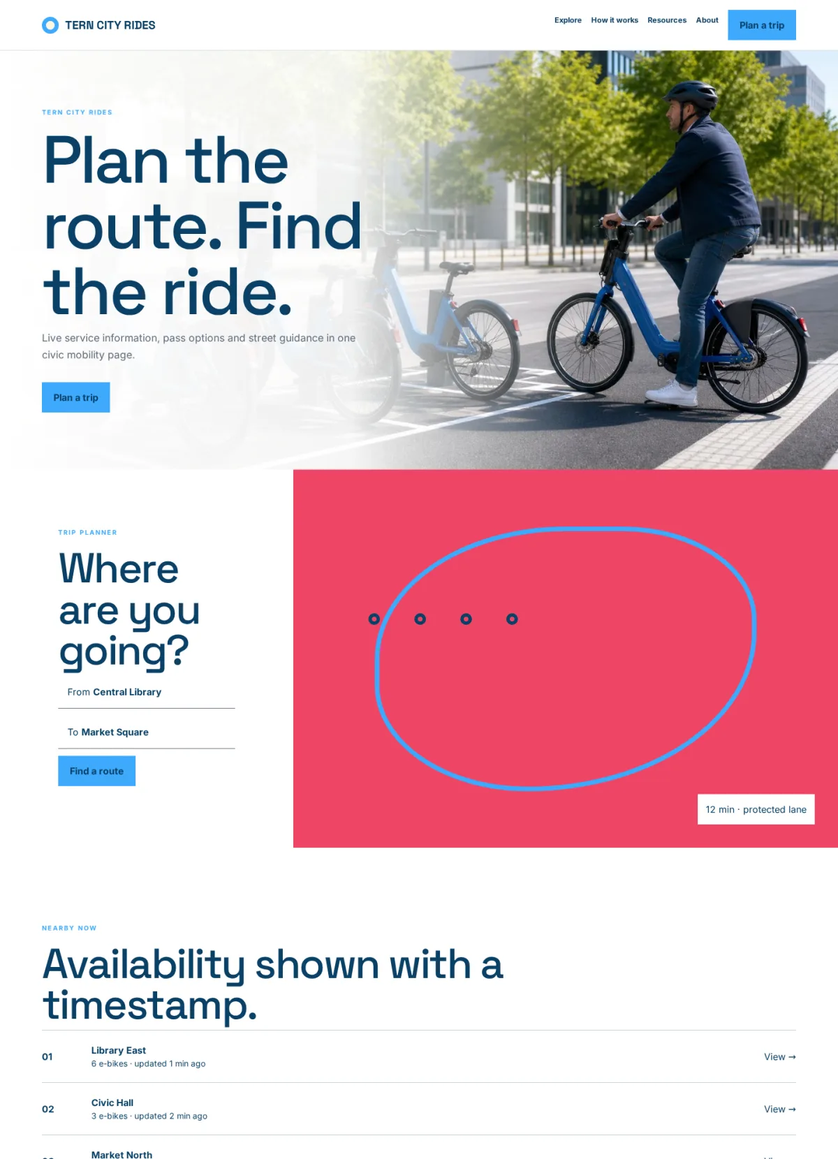
A route-led micro-mobility brand template with service map, live availability, pass comparison, riding guidance, and impact methodology
Tern begins with route planning, service area, nearby vehicles, and a current pass, then moves through safety, pricing, riding, docking, parking, vehicle types, impact methodology, and local support. The page behaves like a city mobility service rather than an automotive campaign or phone mockup.
Choose this template for a bike-share system, scooter operator, municipal mobility program, campus transportation service, urban cycling network, or subscription mobility brand.
Replace the Tern identity with a transparent logo and compact vehicle or app mark. Preserve the aligned route controls, clear map boundary, shared container edges, uniform gutters, and redundant status labels. Route planning should use real streets, service zones, accessibility information, closures, vehicle rules, and travel estimates from maintained data. Explain that estimates vary with conditions and never claim safety, emissions savings, or availability without methodology. Live availability records need timestamps, refresh behavior, vehicle or dock status, maintenance exclusions, location accuracy, and fallbacks when data is stale.
Pass comparisons should state unlock fees, minute charges, included duration, overage, taxes, deposits, eligibility, renewal, pause, cancellation, refunds, geographic limits, and effective dates. Safety content must reflect local law and cover helmets, traffic rules, age limits, prohibited riding, impairment, passengers, night use, parking, reporting hazards, and emergency contact. Docking and parking instructions should distinguish vehicle types and provide accessible alternatives. Vehicle pages need specifications, weight limits, fit, controls, lights, braking, range methodology, charging, inspection, and accessibility without implying universal suitability.
Impact claims about reduced car trips, carbon, congestion, health, miles, or time require a published methodology, baseline, period, data source, assumptions, uncertainty, and independent review where claimed. Never invent routes, live counts, prices, vehicles, impact metrics, city relationships, or endorsements.
Replace generated maps, bicycles, scooters, riders, facilities, and city imagery with authoritative data and licensed assets before launch. Preserve natural wheel geometry and safe rider behavior. Keep prices, availability, alerts, instructions, controls, and methodology in HTML. Alternative text should describe route or vehicle context without relying on color alone. Account and support forms should collect only necessary information and use secure systems for identity, location history, payments, incident evidence, and trip records.
For SEO, create substantial pages for real cities, passes, service areas, vehicle types, safety, parking, accessibility, business programs, impact, and support. Use unique titles, descriptions, canonical URLs, logical headings, update dates, and internal links. Prevent dynamic route, map, and filter URLs from generating thin pages. Apply Service, Offer, Organization, Dataset, or FAQ structured data only when visible facts match.
If multilingual, localize traffic terms, prices, units, support, legal rules, and emergency guidance.
On mobile, make route fields easy to use, provide list alternatives to the map, convert comparison tables into labeled records, and avoid overflow. Maintain keyboard access, visible focus, large targets, strong contrast, reduced motion, screen-reader labels, and non-color availability states. Optional analytics, maps, app links, chat, and advertising should respect consent and location privacy.
Before launch, replace all fictional maps, vehicles, counts, passes, prices, routes, contacts, metrics, and claims; test route planning, map/list views, availability, passes, accounts, support, forms, keyboard use, screen readers, responsive layouts, performance, consent, and failures. Add reviewed privacy, terms, accessibility, safety, parking, incident, location-data, payments, cancellation, impact-methodology, and contact pages, with operations, safety, legal, data, privacy, and content owners and frequent review schedules. Test vehicle shortages, station outages, route closures, failed unlocks, bad parking reports, payment reversals, lost connectivity, and emergency support escalation before public release.